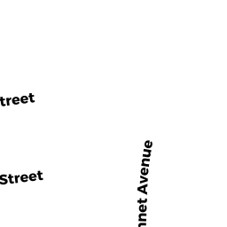
129 WHITMAN ST
Owner Information
PACHECO MARIA M
129 WHITMAN ST
NEW BEDFORD, MA 02745


Property Details
129 WHITMAN ST is classified as a Apartments with Four to Eight Units (6 + family).
The primary structure on this property was built in 1900. There are 4,872ft2 of built area within this property. There is 4,872ft2 of residential/living space within this property. This property is listed as having 21 rooms. There are 5 units within this property.
129 WHITMAN ST is valued at $269,900. The land is valued at $59,300 and the structures are valued at $210,600.
This property is in Zone RC. Confirm with local Zoning Board authorities to ensure there are no overlays or other easements on this property.
The most recent deed for 129 WHITMAN ST is recorded at the local registrar in Book 6429, Page 271. 129 WHITMAN ST was last sold on Friday, August 8, 2003 for $0.
Assessment data from fiscal year 2021.
Flood Data
According to the FEMA National Flood Hazard Layer, this property does not appear to be in a flood zone. It may also be in an area not yet reviewed. Nonetheless, confirm this information prior to taking any action.
To view the flood hazards around this property, create a FEMA "Firmette" Map of the area around 129 WHITMAN ST.
Broadband Internet Providers
| Provider | Type | Bandwidth (mbps) | |
|---|---|---|---|
| Comcast | Cable | 1000 | 35 |
| Verizon New England Inc. | DSL | 10 | 1 |
| Viasat Inc | Satellite | 35 | 3 |
| VSAT Systems, LLC. | Satellite | 2 | 1 |
| HughesNet | Satellite | 25 | 3 |
| GCI Communication Corp. | Satellite | 0 | 0 |
Broadband service provider data from December 2020.
Adjacent Properties
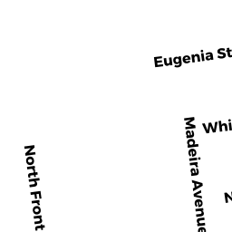
- 126 EUGENIA ST
Three-Family Residential owned by RAPOSO JOSE M - 128 EUGENIA ST
Three-Family Residential owned by BARAUNA EURIPIA N - 130 EUGENIA ST
Apartments with Four to Eight Units owned by BERTHIAUME PETER E - 131 WHITMAN ST
Three-Family Residential owned by RACINE MARIE A - 125 127 WHITMAN ST
Apartments with Four to Eight Units owned by OLIVEIRA MARIO J